
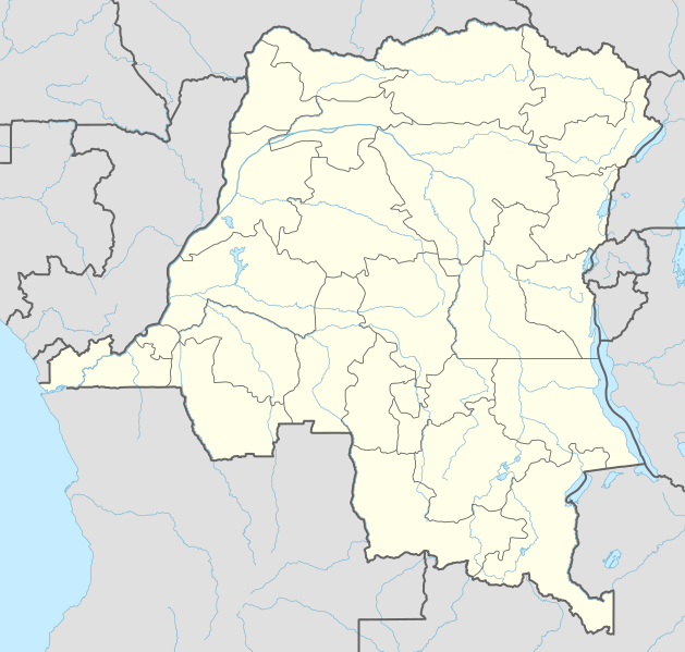
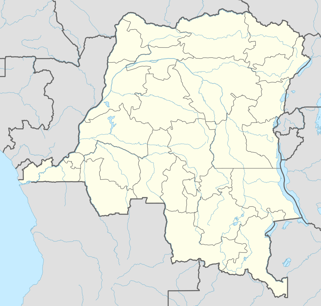
File:Democratic Republic of the Congo adm location map.svg

Ifayela ewu ngqo (SVG file, nominally 1,240 × 1,181 pixels, file size: 732 KB)
Isifinyezo
| Incazelo |
Deutsch: Positionskarte der Demokratischen Republik Kongo
English: Location map of the Democratic Republic of the Congo
|
||||||||||||
| Usuku | |||||||||||||
| Umthombo |
Own work using:
|
||||||||||||
| Umlobi | NordNordWest | ||||||||||||

|
This map has been made or improved in the German Kartenwerkstatt (Map Lab). You can propose maps to improve as well.
|
Licensing
Usage of this file with:

explanatory notes: Legally binding is only the full legalcode. For a free usage I recommend to respect the following licence conditions:
1. Provide my name as given above: NordNordWest,
2. a copy of, or the URI for, the applicable license: https://creativecommons.org/licenses/by-sa/3.0/de/legalcode,
3. the title of the work,
4. in the case of an adaptation, a credit identifying the use of the work in the adaptation.
This license and the rights granted hereunder will terminate automatically upon any breach by you of the terms of this license. Any of the above conditions can be waived if you get permission from the copyright holder. If you have questions or wish differing conditions, please contact me through nnwest or my discussion page ![]() t-online.de
t-online.de
- Ukhululekile:
- ukwabelana – to copy, distribute and transmit the work
- to remix – to adapt the work
- Ngaphansi kwezimo ezilandelayo:
- attribution – You must give appropriate credit, provide a link to the license, and indicate if changes were made. You may do so in any reasonable manner, but not in any way that suggests the licensor endorses you or your use.
- yabelana ngokufana – If you remix, transform, or build upon the material, you must distribute your contributions under the same or compatible license as the original.

Umlando womqulu
Click on a date/time to view the file as it appeared at that time.
| Usuku/Isikhathi | Isithonjana | Dimensions | Umsebenzisi | Amazwana | |
|---|---|---|---|---|---|
| Njengamanje | 01:51, 15 uLwezi 2022 | | 1,240 × 1,181 (732 KB) | SyntaxTerror | sorted in layers |
| 08:51, 16 uNhlolanja 2016 |  | 1,240 × 1,181 (692 KB) | NordNordWest | corr | |
| 18:25, 15 uNhlolanja 2016 |  | 1,240 × 1,181 (691 KB) | NordNordWest | == {{int:filedesc}} == {{Information |Description= {{de|1=Positionskarte der Demokratischen Republik Kongo}} {{en|1=Location map of the Democratic Republic of the Congo}} {{Location map series N |stretching=100 |top=6 |bottom=-14 |left=11 |right=32 }}... |
Ukusetshenziswa komqulu
More than 100 pages use this file. The following list shows the first 100 pages that use this file only. A full list is available.
- Aba, Khongo-Kinshasa
- Aketi
- Aru, Khongo-Kinshasa
- Bafwasende
- Bagata, Kwilu
- Bagata Territory
- Bakwa-Kalonji
- Banana, Khongo-Kinshasa
- Bandundu
- Baraka, Khongo-Kinshasa
- Basankusu
- Basankusu Territory
- Basoko
- Befale
- Beni, Khongo-Kinshasa
- Bikoro
- Bikoro Territory
- Binga, Khongo-Kinshasa
- Boende
- Bokoro, Khongo-Kinshasa
- Bolobo
- Bolobo Territory
- Boma, Khongo-Kinshasa
- Bomongo
- Bondo, Khongo-Kinshasa
- Bongandanga
- Bosobolo
- Bukama
- Bukavu
- Bulungu, Kwilu
- Bumba, Khongo-Kinshasa
- Bunia
- Businga
- Buta, Khongo-Kinshasa
- Butembo
- Dekese
- Dekese Territory
- Demba, Khongo-Kinshasa
- Dibaya
- Dibaya-Lubwe
- Djugu
- Dungu, Khongo-Kinshasa
- Dungu Territory
- Faradje Territory
- Fizi Territory
- Fungurume
- Gandajika
- Gbadolite
- Gemena
- Goma, Khongo-Kinshasa
- Gungu, Khongo-Kinshasa
- Gwane
- Idiofa
- Idiofa Territory
- Idjwi
- Ikela
- Ikela Territory
- Ilebo
- Inongo
- Isangi Territory
- Kabinda
- Kabongo, Khongo-Kinshasa
- Kahemba Territory
- Kalehe Territory
- Kalemie
- Kasangulu
- Kasongo Lunda Territory
- Kasongo Territory
- Katanda Territory
- Kenge, Kwango
- Kinshasa
- Kiri Territory
- Kisantu
- Kungu
- Kutu, Khongo-Kinshasa
- Kwamouth
- Lisala
- Luozi Territory
- Mambasa Territory
- Manono, Khongo-Kinshasa
- Masi-Manimba Territory
- Mbanza-Ngungu
- Moanda, Khongo-Kinshasa
- Moba Territory
- Mobayi-Mbongo
- Monkoto Territory
- Mushie
- Niangara Territory
- Opala Territory
- Oshwe
- Pangi Territory
- Popokabaka Territory
- Pweto Territory
- Rutshuru Territory
- Seke-Banza Territory
- Tshela, Khongo-Kinshasa
- Ubundu, Khongo-Kinshasa
- Wamba Territory
- Watsa Territory
- Yakoma, Khongo-Kinshasa
View more links to this file.
Ukusetshenziswa komqulu jikelele
Amanye ama-wiki asebenzisa lefayela
- Ukusetshenziswa ku-ab.wikipedia.org
- Ukusetshenziswa ku-af.wikipedia.org
- Ukusetshenziswa ku-an.wikipedia.org
- Ukusetshenziswa ku-ast.wikipedia.org
- Ukusetshenziswa ku-azb.wikipedia.org
- Ukusetshenziswa ku-bn.wikipedia.org
View more global usage of this file.