
File:Kigoma Seeufer.jpg
Size of this preview: Amachashazikazi ama-800 adlulayo nama-533 amile. Other resolutions: Amachashazikazi ama-320 adlulayo nama-213 amile | Amachashazikazi ama-640 adlulayo nama-427 amile | Amachashazikazi ama-1,024 adlulayo nama-682 amile | Amachashazikazi ama-1,280 adlulayo nama-853 amile | Amachashazikazi ama-2,560 adlulayo nama-1,706 amile | Amachashazikazi ama-3,883 adlulayo nama-2,588 amile.
Ifayela ewu ngqo (3,883 × 2,588 pixels, file size: 2.28 MB, MIME type: image/jpeg)
Isifinyezo
| Incazelo |
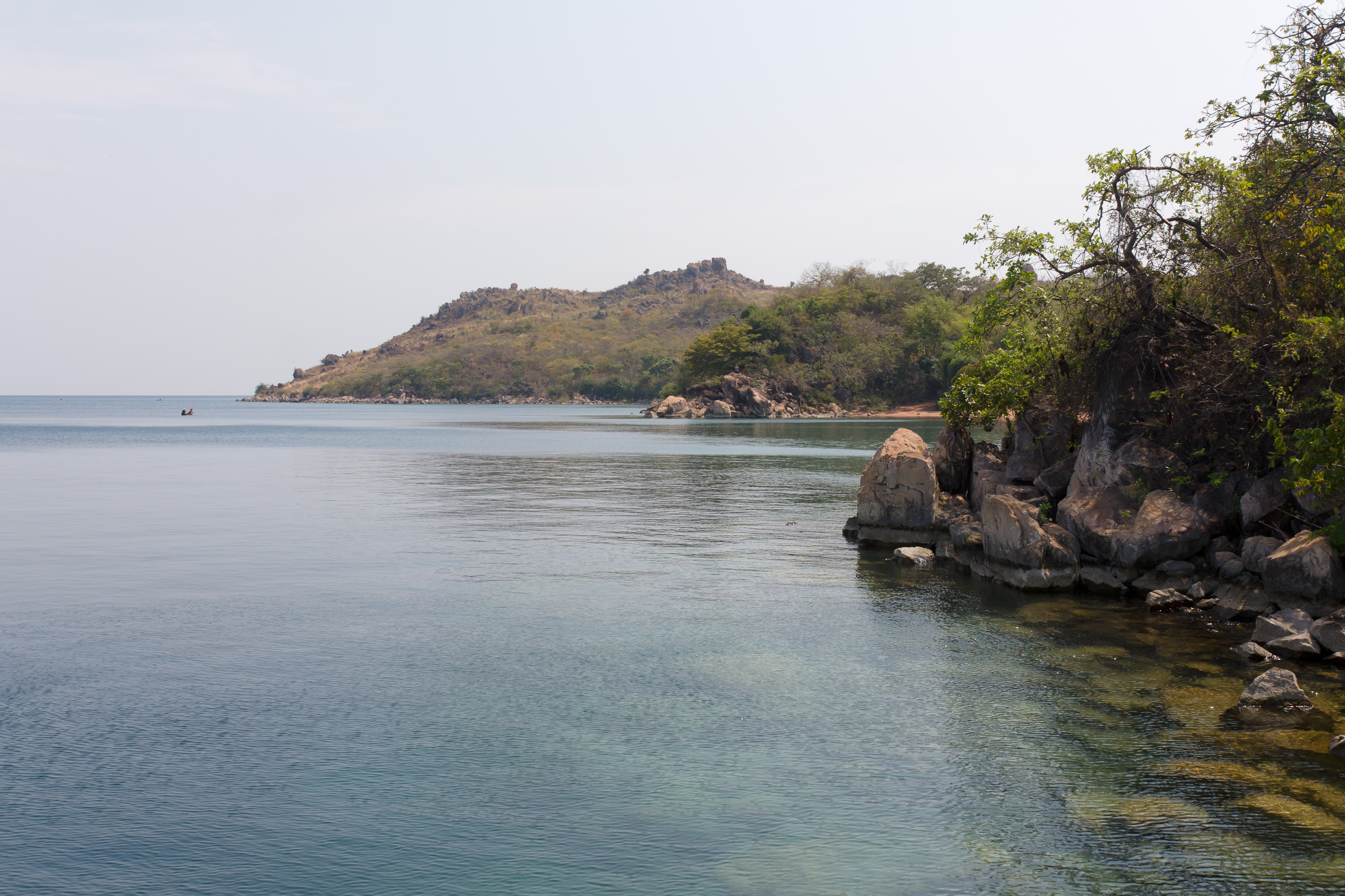
Deutsch: Das Ufer des Tanganjikasees bei Kigoma
Kiswahili: Mwambao wa ziwa la Tanganyika karibu na Kigoma
English: The shore of Lake Tanganyika near Kigoma |
| Usuku | |
| Umthombo | Own work |
| Umlobi | Ikiwaner |
| Camera location | | View this and other nearby images on: OpenStreetMap |
|---|
Licensing

|
Permission is granted to copy, distribute and/or modify this document under the terms of the GNU Free Documentation License, Version 1.2 only as published by the Free Software Foundation; with no Invariant Sections, no Front-Cover Texts, and no Back-Cover Texts. A copy of the license is included in the section entitled GNU Free Documentation License. | 1.2 only |
Umlando womqulu
Click on a date/time to view the file as it appeared at that time.
| Usuku/Isikhathi | Isithonjana | Dimensions | Umsebenzisi | Amazwana | |
|---|---|---|---|---|---|
| Njengamanje | 20:07, 22 uNcwaba 2010 | | 3,883 × 2,588 (2.28 MB) | Ikiwaner |
Ukusetshenziswa komqulu
The following 2 pages use this file:
Ukusetshenziswa komqulu jikelele
Amanye ama-wiki asebenzisa lefayela
- Ukusetshenziswa ku-bg.wikipedia.org
- Ukusetshenziswa ku-ca.wikipedia.org
- Ukusetshenziswa ku-ceb.wikipedia.org
- Ukusetshenziswa ku-de.wikipedia.org
- Ukusetshenziswa ku-en.wikipedia.org
- Ukusetshenziswa ku-eo.wikipedia.org
- Ukusetshenziswa ku-es.wikipedia.org
- Ukusetshenziswa ku-fa.wikipedia.org
- Ukusetshenziswa ku-fr.wikipedia.org
- Ukusetshenziswa ku-gl.wikipedia.org
- Ukusetshenziswa ku-ha.wikipedia.org
- Ukusetshenziswa ku-he.wikipedia.org
- Ukusetshenziswa ku-ig.wikipedia.org
- Ukusetshenziswa ku-ka.wikipedia.org
- Ukusetshenziswa ku-mt.wikipedia.org
- Ukusetshenziswa ku-nn.wikipedia.org
- Ukusetshenziswa ku-no.wikipedia.org
- Ukusetshenziswa ku-pl.wikipedia.org
- Ukusetshenziswa ku-ro.wikipedia.org
- Ukusetshenziswa ku-ru.wikipedia.org
- Ukusetshenziswa ku-sr.wikipedia.org
- Ukusetshenziswa ku-sw.wikipedia.org
- Ukusetshenziswa ku-ts.wikipedia.org
- Ukusetshenziswa ku-uk.wikipedia.org
- Ukusetshenziswa ku-ur.wikipedia.org
- Ukusetshenziswa ku-vi.wikipedia.org
- Ukusetshenziswa ku-www.wikidata.org
- Ukusetshenziswa ku-yo.wikipedia.org