
File:Paraguay (orthographic projection).svg

Size of this PNG preview of this SVG file: Amachashazikazi ama-541 adlulayo nama-541 amile. Other resolutions: Amachashazikazi ama-240 adlulayo nama-240 amile | Amachashazikazi ama-480 adlulayo nama-480 amile | Amachashazikazi ama-768 adlulayo nama-768 amile | Amachashazikazi ama-1,024 adlulayo nama-1,024 amile | Amachashazikazi ama-2,048 adlulayo nama-2,048 amile.
Ifayela ewu ngqo (SVG file, nominally 541 × 541 pixels, file size: 85 KB)
Isifinyezo
| Incazelo |
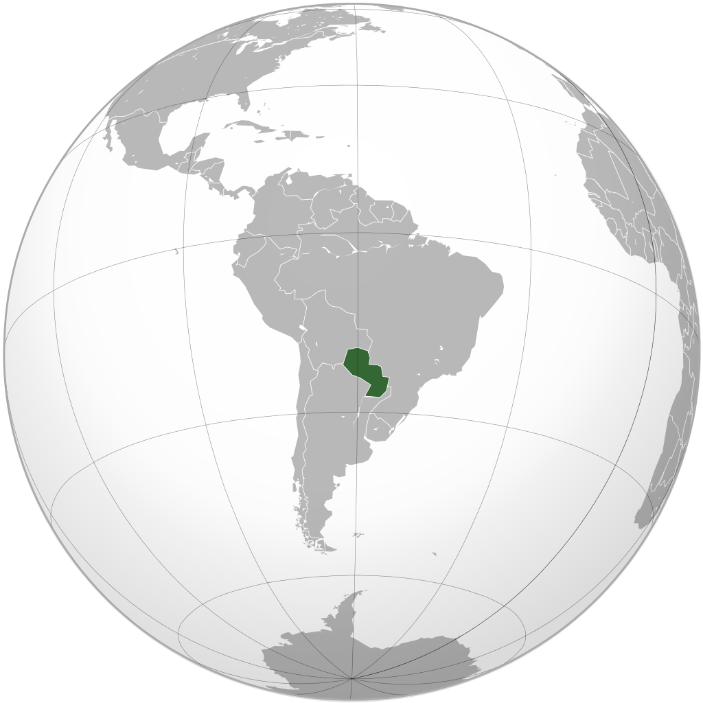
English: Paraguay |
||||
| SVG genesis | |||||
| Usuku | |||||
| Umthombo |
File:Brazil (orthographic projection).svg
|
||||
| Umlobi | Ssolbergj (source map), Connormah | ||||
| Other versions |
.svg)
|
.svg)
.svg)
.svg)
.svg)
.svg)
.svg)
.svg)
.svg)
.svg)
.svg)
.svg)
.svg)
.svg)
.svg)
.svg)
.svg)
.svg)
.svg)
.svg)
.svg)
.svg)
.svg)
.svg)
.svg)
.svg)
.svg)
.svg)
.svg)
.svg)
.svg)
.svg)
.svg)
.svg)
.svg)
.svg)
.svg)
.svg)
.svg)
.svg)
.svg)
.svg)
.svg)
.svg)
.svg)
.svg)
.svg)
.svg)
.svg)
.svg)
.svg)
.svg)
.svg)
.svg)
.svg)
.svg)
.svg)
.svg)
.svg)
.svg)
.svg)
.svg)
.svg)
.svg)
.svg)
.svg)
.svg)
.svg)
.svg)
.svg)
.svg)
.svg)
.svg)
.svg)

.svg)

.svg)

.svg)
.svg)
.svg)
.svg)
.svg)
.svg)
.svg)


.svg)
.svg)
.svg)
.svg)
.svg)
.svg)
.svg)

.svg)
.svg)
.svg)
.svg)
.svg)
.svg)
.svg)
.svg)
.svg)

.svg)
.svg)
.svg)
.svg)
.svg)
.svg)
.svg)
_without_national_boundaries.svg)
.svg)
.svg)
.svg)
.svg)
.svg)
.svg)

.svg)
.svg)
.png)
.svg)
.svg)
.svg)
.svg)

.svg)
.svg)
.svg)
.svg)
.svg)
.svg)
.svg)
.svg)
.svg)
.svg)
.svg)

.svg)
.svg)
.svg)
.svg)
.svg)
.svg)
.svg)
.svg)
.svg)

.svg)
.svg)

.svg)
.svg)
.svg)
.svg)
.svg)
.svg)
.svg)
.svg)
.svg)
.svg)
.svg)
.svg)
.svg)
.svg)
.svg)
.svg)
.svg)
.svg)
.svg)
.svg)
.svg)
.svg)
.svg)
.svg)
.svg)
.svg)
.svg)
_-_Crimea_disputed.svg)
.svg)
.svg)
.svg)
.svg)
.svg)
.svg)
.svg)
.svg)
.svg)
.svg)
.svg)
_political.svg)
.svg)
.svg)
.svg)
.svg)
_-_Crimea_disputed_-_no_borders.svg)
.svg)
.svg)
.svg)
.svg)
.svg)
.svg)
.svg)
.svg)
.svg)
.svg)
.svg)

.svg)
.svg)
.svg)

.png)
.svg)
.svg)
.svg)
.svg)
.svg)
.svg)
.svg)
.svg)
.svg)
.svg)
.svg)
.svg)
.svg)
.svg)
.svg)
.svg)
.svg)
.svg)
.svg)
.svg)
.svg)
.svg)
.svg)
.svg)
.svg)
.svg)
.svg)
.svg)
.svg)
.svg)
.svg)
.svg)
.svg)
.svg)
.png)
.svg)
.svg)
.svg)
_(orthographic_projection).png)
.svg)
.svg)
.svg)
Licensing
I, the copyright holder of this work, hereby publish it under the following licenses:
This file is licensed under the Creative Commons Attribution-Share Alike 3.0 Unported license.
- Ukhululekile:
- ukwabelana – to copy, distribute and transmit the work
- to remix – to adapt the work
- Ngaphansi kwezimo ezilandelayo:
- attribution – You must give appropriate credit, provide a link to the license, and indicate if changes were made. You may do so in any reasonable manner, but not in any way that suggests the licensor endorses you or your use.
- yabelana ngokufana – If you remix, transform, or build upon the material, you must distribute your contributions under the same or compatible license as the original.

|
Permission is granted to copy, distribute and/or modify this document under the terms of the GNU Free Documentation License, Version 1.2 or any later version published by the Free Software Foundation; with no Invariant Sections, no Front-Cover Texts, and no Back-Cover Texts. A copy of the license is included in the section entitled GNU Free Documentation License. |
You may select the license of your choice.
Umlando womqulu
Click on a date/time to view the file as it appeared at that time.
| Usuku/Isikhathi | Isithonjana | Dimensions | Umsebenzisi | Amazwana | |
|---|---|---|---|---|---|
| Njengamanje | 06:56, 6 uMasingana 2015 | | 541 × 541 (85 KB) | Denniss | Reverted to version as of 21:52, 12 September 2012 |
| 03:24, 6 uMasingana 2015 |  | 1,800 × 1,400 (534 KB) | Mondolkiri1 | Paraguai na UNASUR / UNASUL - Paraguay en UNASUR / UNASUL | |
| 21:52, 12 uMandulo 2012 |  | 541 × 541 (85 KB) | Palosirkka | Scrubbed with http://codedread.com/scour/ | |
| 23:33, 31 uNhlaba 2009 |  | 541 × 541 (311 KB) | Ssolbergj | green layer put behind borders etc. | |
| 22:55, 31 uNhlaba 2009 |  | 541 × 541 (309 KB) | Connormah | {{Information |Description={{en|1=Location of Paraguay in orthographic projection.}} |Source=Own work by uploader |Author=Connormah |Date= |Permission= |other_versions= }} <!--{{ImageUpload|full}}--> |
Ukusetshenziswa komqulu
The following page uses this file:
Ukusetshenziswa komqulu jikelele
Amanye ama-wiki asebenzisa lefayela
- Ukusetshenziswa ku-ady.wikipedia.org
- Ukusetshenziswa ku-af.wikipedia.org
- Ukusetshenziswa ku-ami.wikipedia.org
- Ukusetshenziswa ku-ang.wikipedia.org
- Ukusetshenziswa ku-ar.wikipedia.org
- Ukusetshenziswa ku-avk.wikipedia.org
- Ukusetshenziswa ku-awa.wikipedia.org
- Ukusetshenziswa ku-azb.wikipedia.org
- Ukusetshenziswa ku-az.wikipedia.org
- Ukusetshenziswa ku-az.wiktionary.org
- Ukusetshenziswa ku-ba.wikipedia.org
- Ukusetshenziswa ku-be.wikipedia.org
- Ukusetshenziswa ku-bn.wikipedia.org
- Ukusetshenziswa ku-bo.wikipedia.org
- Ukusetshenziswa ku-bxr.wikipedia.org
- Ukusetshenziswa ku-ca.wikipedia.org
- Ukusetshenziswa ku-cbk-zam.wikipedia.org
- Ukusetshenziswa ku-ckb.wikipedia.org
- Ukusetshenziswa ku-cs.wikipedia.org
- Ukusetshenziswa ku-da.wikipedia.org
- Ukusetshenziswa ku-dv.wikipedia.org
- Ukusetshenziswa ku-el.wikipedia.org
- Ukusetshenziswa ku-en.wikipedia.org
- Ukusetshenziswa ku-en.wikinews.org
- Ukusetshenziswa ku-es.wikipedia.org
- Usuario:Hazaña17
- Discusión:América del Sur
- Anexo:Embajadores de España en Paraguay
- Usuario:Hazaña17/Paraguay
- Wikiproyecto:Ilustración/Taller de Cartografía/Realizaciones/Mapas ortográficos/América del Sur
- Diversidad sexual en Paraguay
- Usuario:Userbox/Localización/Paraguay
- Usuaria:Userbox mujer/Localización/Paraguay
- Usuario:Richdec
- Ukusetshenziswa ku-eu.wikipedia.org
- Ukusetshenziswa ku-fj.wikipedia.org
- Ukusetshenziswa ku-frr.wikipedia.org
- Ukusetshenziswa ku-fr.wikipedia.org
- Ukusetshenziswa ku-fr.wiktionary.org
- Ukusetshenziswa ku-gcr.wikipedia.org
- Ukusetshenziswa ku-gn.wikipedia.org
- Ukusetshenziswa ku-gv.wikipedia.org
- Ukusetshenziswa ku-he.wikipedia.org
View more global usage of this file.
.svg)
.svg)