
File:Burundi adm location map.svg

Ifayela ewu ngqo (SVG file, nominally 624 × 680 pixels, file size: 93 KB)
Isifinyezo
| Incazelo |
Deutsch: Positionskarte von Burundi
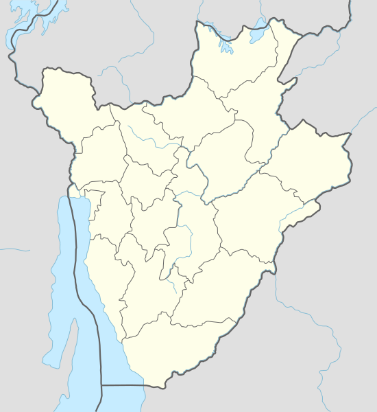
English: Location map of Burundi
Français : Carte de géolocalisation du Burundi
|
||||||||||||
| Usuku | |||||||||||||
| Umthombo |
Own work using:
|
||||||||||||
| Umlobi | NordNordWest | ||||||||||||
| Other versions |
|
||||||||||||
_location_map.svg)


|
This map has been made or improved in the German Kartenwerkstatt (Map Lab). You can propose maps to improve as well.
|
Licensing
Usage of this file with:

explanatory notes: Legally binding is only the full legalcode. For a free usage I recommend to respect the following licence conditions:
1. Provide my name as given above: NordNordWest,
2. a copy of, or the URI for, the applicable license: https://creativecommons.org/licenses/by-sa/3.0/de/legalcode,
3. the title of the work,
4. in the case of an adaptation, a credit identifying the use of the work in the adaptation.
This license and the rights granted hereunder will terminate automatically upon any breach by you of the terms of this license. Any of the above conditions can be waived if you get permission from the copyright holder. If you have questions or wish differing conditions, please contact me through nnwest or my discussion page ![]() t-online.de
t-online.de
- Ukhululekile:
- ukwabelana – to copy, distribute and transmit the work
- to remix – to adapt the work
- Ngaphansi kwezimo ezilandelayo:
- attribution – You must give appropriate credit, provide a link to the license, and indicate if changes were made. You may do so in any reasonable manner, but not in any way that suggests the licensor endorses you or your use.
- yabelana ngokufana – If you remix, transform, or build upon the material, you must distribute your contributions under the same or compatible license as the original.

Umlando womqulu
Click on a date/time to view the file as it appeared at that time.
| Usuku/Isikhathi | Isithonjana | Dimensions | Umsebenzisi | Amazwana | |
|---|---|---|---|---|---|
| Njengamanje | 17:26, 15 uMandulo 2015 | | 624 × 680 (93 KB) | NordNordWest | upd |
| 15:25, 1 uZibandlela 2014 |  | 624 × 680 (91 KB) | NordNordWest | == {{int:filedesc}} == {{Information |Description= {{de|1=Positionskarte von Burundi}} {{en|1=Location map of Burundi}} {{Location map series N |stretching=100 |top=-2.2 |bottom=-4.6 |left=28.8 |right=31.0 }} |Source={{Own using}} * United States Natio... |
Ukusetshenziswa komqulu
The following 37 pages use this file:
- Bubanza
- Bujumbura
- Burambi Commune
- Bururi
- Bururi Commune
- Cankuzo
- Cankuzo Commune
- Cibitoke
- Gihogazi Commune
- Gitega
- Gitega Commune
- Karuzi
- Kayanza
- Kayanza Commune
- Kibago Commune
- Kirundo
- Kirundo Commune
- Mabanda Commune
- Makamba, Bhurundi
- Makamba Commune
- Muramvya
- Muramvya Commune
- Musenyi
- Muyinga
- Muyinga Commune
- Mwaro
- Ngozi, Bhurundi
- Ngozi Commune, Bhurundi
- Nyanza-Lac Commune
- Nyanza Lac
- Rumonge
- Rutana
- Rutana Commune
- Ruyigi
- Ruyigi Commune
- Zanandore
- Template:Location map Bhurundi
Ukusetshenziswa komqulu jikelele
Amanye ama-wiki asebenzisa lefayela
- Ukusetshenziswa ku-af.wikipedia.org
- Ukusetshenziswa ku-an.wikipedia.org
- Ukusetshenziswa ku-ast.wikipedia.org
- Ukusetshenziswa ku-azb.wikipedia.org
- Ukusetshenziswa ku-bn.wikipedia.org
- Ukusetshenziswa ku-ceb.wikipedia.org
View more global usage of this file.