
File:Deutschland Lage Berlins.svg

Size of this PNG preview of this SVG file: Amachashazikazi ama-443 adlulayo nama-599 amile. Other resolutions: Amachashazikazi ama-177 adlulayo nama-240 amile | Amachashazikazi ama-355 adlulayo nama-480 amile | Amachashazikazi ama-567 adlulayo nama-768 amile | Amachashazikazi ama-757 adlulayo nama-1,024 amile | Amachashazikazi ama-1,513 adlulayo nama-2,048 amile | Amachashazikazi ama-592 adlulayo nama-801 amile.
Ifayela ewu ngqo (SVG file, nominally 592 × 801 pixels, file size: 108 KB)
| Incazelo |
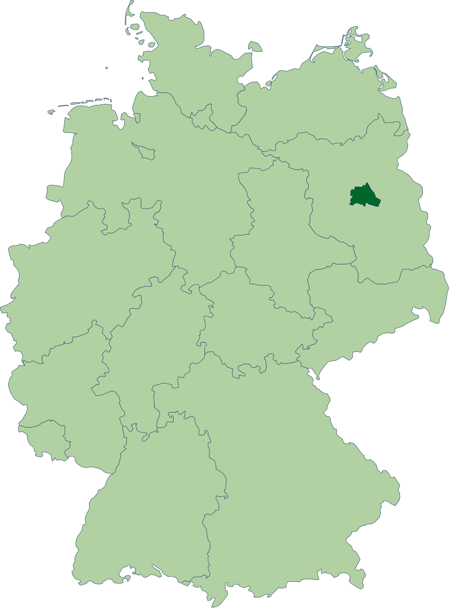
Deutsch: Karte der Bundesrepublik Deutschland mit eingezeichneten Grenzen und alphabetischer Nummerierung der Bundesländer. Berlin ist farblich hervorgehoben. |
| Usuku | |
| Umthombo | Erstellt aus Material des gemeinsamen Datenangebotes aus dem gemeinsamen Portal der statistischen Ämter des Bundes und der Länder (DeStatis). [1] |
| Umlobi | David Liuzzo |
| Permission (Reusing this file) |
This file is licensed under the Creative Commons Attribution-Share Alike 2.0 Germany license.
 |
| SVG genesis | This locator map was created with Adobe Illustrator. |
| Annotations | This image is annotated: View the annotations at Commons |
Umlando womqulu
Click on a date/time to view the file as it appeared at that time.
| Usuku/Isikhathi | Isithonjana | Dimensions | Umsebenzisi | Amazwana | |
|---|---|---|---|---|---|
| Njengamanje | 22:17, 14 uMfumfu 2006 | | 592 × 801 (108 KB) | David Liuzzo | {{Information| |Description= {{de|Karte der Bundesrepublik Deutschland mit eingezeichneten Grenzen und alphabetischer Nummerierung der Bundesländer. Berlin ist farblich hervorgehoben.}} |Source= Erstellt aus Materia |
Ukusetshenziswa komqulu
The following page uses this file:
Ukusetshenziswa komqulu jikelele
Amanye ama-wiki asebenzisa lefayela
- Ukusetshenziswa ku-an.wikipedia.org
- Ukusetshenziswa ku-azb.wikipedia.org
- Ukusetshenziswa ku-bh.wikipedia.org
- Ukusetshenziswa ku-cbk-zam.wikipedia.org
- Ukusetshenziswa ku-cs.wikipedia.org
- Ukusetshenziswa ku-de.wikipedia.org
- Freie Demokratische Partei
- Junge Union
- Die Republikaner
- Partei Mensch Umwelt Tierschutz
- Die PARTEI
- Liberale Demokraten
- Wikipedia:Quiz
- Sozialdemokratische Partei Deutschlands
- Benutzer:Berlinersorbenbayer/Berlin
- Flaggen und Wappen der Länder der Bundesrepublik Deutschland
- Die Linke
- Bergpartei, die Überpartei
- Benutzer:K4210/Bav-Baustelle
- Deutsche Mitte
- Berliner Rugby-Verband
- Benutzer:Connoisseur of politics/Parteivorsitzende
- Freiparlamentarische Allianz
- Ukusetshenziswa ku-de.wikivoyage.org
- Ukusetshenziswa ku-de.wiktionary.org
- Ukusetshenziswa ku-dsb.wikipedia.org
- Ukusetshenziswa ku-dty.wikipedia.org
- Ukusetshenziswa ku-en.wikipedia.org
- Ukusetshenziswa ku-en.wiktionary.org
- Ukusetshenziswa ku-eo.wikipedia.org
- Ukusetshenziswa ku-es.wikipedia.org
- Ukusetshenziswa ku-fr.wikipedia.org
- Ukusetshenziswa ku-fr.wikiversity.org
- Ukusetshenziswa ku-fr.wiktionary.org
- Ukusetshenziswa ku-ga.wiktionary.org
- Ukusetshenziswa ku-gv.wikipedia.org
- Ukusetshenziswa ku-ht.wikipedia.org
- Ukusetshenziswa ku-hu.wikipedia.org
View more global usage of this file.