
File:Location Greece EU Europe.png
Size of this preview: Amachashazikazi ama-721 adlulayo nama-600 amile. Other resolutions: Amachashazikazi ama-289 adlulayo nama-240 amile | Amachashazikazi ama-577 adlulayo nama-480 amile | Amachashazikazi ama-923 adlulayo nama-768 amile | Amachashazikazi ama-1,231 adlulayo nama-1,024 amile | Amachashazikazi ama-2,056 adlulayo nama-1,710 amile.
Ifayela ewu ngqo (2,056 × 1,710 pixels, file size: 141 KB, MIME type: image/png)
Isifinyezo
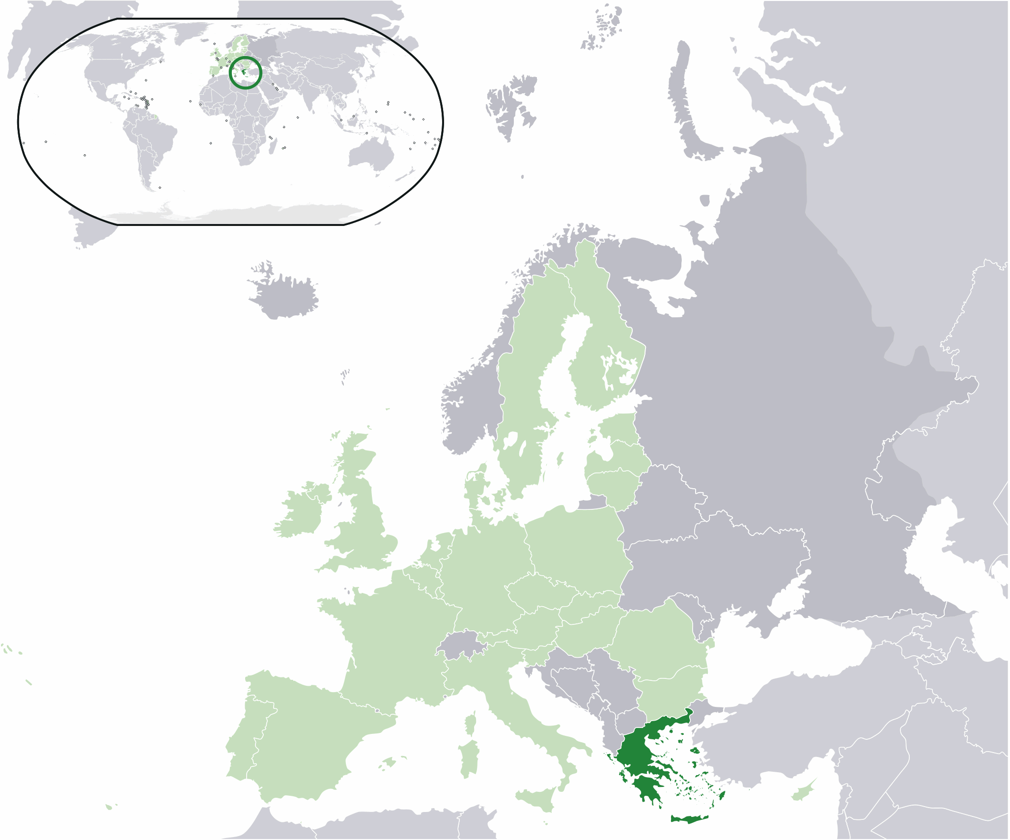
| Incazelo | Location map: Greece (dark green) / European Union (light green) / Europe (dark grey); inspired by and consistent with general country locator maps by User:Vardion, et al. |
| Usuku | |
| Umthombo | Own work |
| Umlobi | Quizimodo |

|
File:EU-Greece.svg is a vector version of this file. It should be used in place of this PNG file when not inferior.
File:Location Greece EU Europe.png → File:EU-Greece.svg
For more information, see Help:SVG. |
 |
Licensing
| This work has been released into the public domain by its author, I, Quizimodo. This applies worldwide. In some countries this may not be legally possible; if so: I, Quizimodo grants anyone the right to use this work for any purpose, without any conditions, unless such conditions are required by law. |
Umlando womqulu
Click on a date/time to view the file as it appeared at that time.
| Usuku/Isikhathi | Isithonjana | Dimensions | Umsebenzisi | Amazwana | |
|---|---|---|---|---|---|
| Njengamanje | 22:12, 25 uMbasa 2008 | | 2,056 × 1,710 (141 KB) | Arheos~commonswiki | {{Information |Description=Location map: Greece (dark green) / European Union (light green) / Europe (dark grey); inspired by and consistent with general country locator maps by User:Vardion, et al |Source= Edited previous existing image, only additions w |
| 01:12, 18 uNhlangulana 2007 |  | 2,056 × 1,710 (177 KB) | Quizimodo~commonswiki | image (updated) | |
| 09:49, 17 uNhlangulana 2007 |  | 2,056 × 1,710 (227 KB) | Quizimodo~commonswiki | image (tweaked) | |
| 08:02, 17 uNhlangulana 2007 |  | 2,056 × 1,710 (226 KB) | Quizimodo~commonswiki | image (tweaked) | |
| 07:21, 17 uNhlangulana 2007 |  | 2,056 × 1,710 (224 KB) | Quizimodo~commonswiki | image (tweaked) | |
| 05:51, 17 uNhlangulana 2007 |  | 2,056 × 1,710 (228 KB) | Quizimodo~commonswiki | {{Information |Description=Location map: Greece/EU/Europe |Source=self-made |Date=17 June 2006 |Author= Quizimodo }} |
Ukusetshenziswa komqulu
The following page uses this file:
Ukusetshenziswa komqulu jikelele
Amanye ama-wiki asebenzisa lefayela
- Ukusetshenziswa ku-en.wikipedia.org
- Ukusetshenziswa ku-en.wikinews.org
- Ukusetshenziswa ku-fr.wikinews.org
- Ukusetshenziswa ku-ga.wiktionary.org
- Ukusetshenziswa ku-haw.wikipedia.org
- Ukusetshenziswa ku-hif.wikipedia.org
- Ukusetshenziswa ku-incubator.wikimedia.org
- Wp/grc/Ἑλλάς
- Wn/si/මුල් පිටුව
- Template:Wn/si/Lead article 2
- Template:Wn/si/Main page lead articles
- Template:Wn/si/Main page body
- Wn/si/ග්රීසිය හා තුර්කිය අතර වැටක් බැඳෙයි
- Wp/khw/یونان
- Template:Wn/az/Ölkə xəbərləri-Yunanıstan
- Wn/az/Yunanıstanın paytaxtında etiraz aksiyası baş tutub
- Wp/fit/Kreeklanti
- Wn/az/Afina qaranlığa qərq olub
- Wn/az/Yunanıstan Almaniyadan təzminat istəyib
- Ukusetshenziswa ku-inh.wikipedia.org
- Ukusetshenziswa ku-it.wikibooks.org
- Ukusetshenziswa ku-jam.wikipedia.org
- Ukusetshenziswa ku-ka.wikipedia.org
- Ukusetshenziswa ku-kbd.wikipedia.org
- Ukusetshenziswa ku-koi.wikipedia.org
- Ukusetshenziswa ku-krc.wikipedia.org
- Ukusetshenziswa ku-lad.wikipedia.org
- Ukusetshenziswa ku-lld.wikipedia.org
- Ukusetshenziswa ku-ltg.wikipedia.org
- Ukusetshenziswa ku-mdf.wikipedia.org
- Ukusetshenziswa ku-mi.wikipedia.org
- Ukusetshenziswa ku-ml.wikipedia.org
- Ukusetshenziswa ku-nap.wikipedia.org
- Ukusetshenziswa ku-nov.wikipedia.org
- Ukusetshenziswa ku-pl.wikinews.org
- Ukusetshenziswa ku-pl.wiktionary.org
- Ukusetshenziswa ku-pnb.wikipedia.org
- Ukusetshenziswa ku-pt.wikiquote.org
- Ukusetshenziswa ku-roa-tara.wikipedia.org
- Ukusetshenziswa ku-rw.wikipedia.org
- Ukusetshenziswa ku-sah.wikipedia.org
- Ukusetshenziswa ku-sat.wikipedia.org
- Ukusetshenziswa ku-scn.wikipedia.org
- Ukusetshenziswa ku-simple.wiktionary.org
- Ukusetshenziswa ku-sq.wikipedia.org
- Ukusetshenziswa ku-sr.wikipedia.org
- Ukusetshenziswa ku-ss.wikipedia.org
- Ukusetshenziswa ku-su.wikipedia.org
View more global usage of this file.