
File:Mapo-gu police station at Hangang.jpg
Ifayela ewu ngqo (1,200 × 1,600 pixels, file size: 458 KB, MIME type: image/jpeg)
Isifinyezo
| Incazelo |
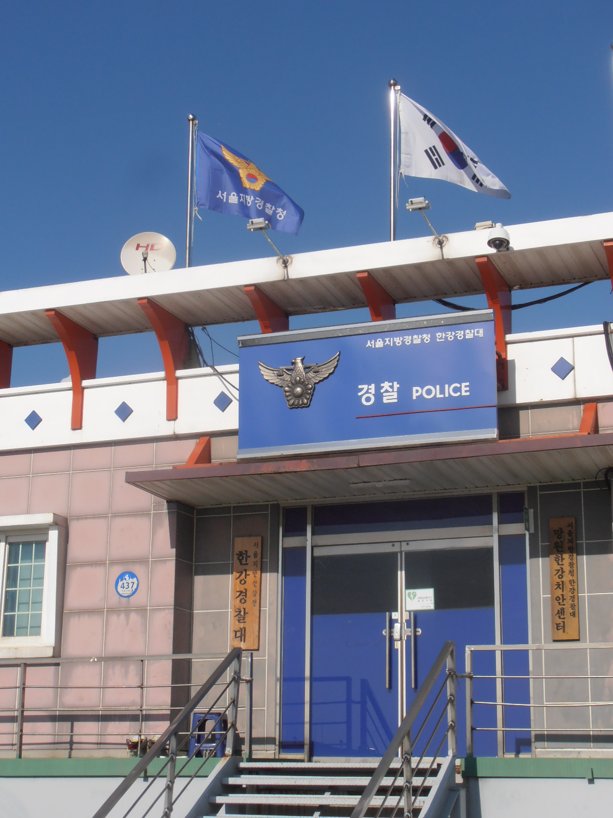
English: Police station at the Hangang bikeway (Mangwon-dong, Mapo-gu. The whole office is built on a pontoon: in highwater situations it is elevated by the Hangang flood level, and floats automatically.) |
| Usuku | |
| Umthombo | Own work |
| Umlobi | 사랑 |
| Other versions |
|

| Camera location | | View this and other nearby images on: OpenStreetMap |
|---|
Licensing
| I, the copyright holder of this work, release this work into the public domain. This applies worldwide. In some countries this may not be legally possible; if so: I grant anyone the right to use this work for any purpose, without any conditions, unless such conditions are required by law. |
Umlando womqulu
Click on a date/time to view the file as it appeared at that time.
| Usuku/Isikhathi | Isithonjana | Dimensions | Umsebenzisi | Amazwana | |
|---|---|---|---|---|---|
| Njengamanje | 11:08, 26 uMfumfu 2018 | | 1,200 × 1,600 (458 KB) | Sarang | == {{int:filedesc}} == {{Information |Description={{en|Police station at the {{W|Hangang Park|Hangang bikeway}} (Mangwon-dong, {{C|Mapo-gu, Seoul|Mapo-gu.}})}} |Date=2018-10-20 |Source={{own}} |Author={{Ut|Sarang|사랑}} |Other versions={{F|한강경찰대 망원한강치안센터.JPG|G}} }} {{Location|37|33|14.2|N|126|53|47.5|E}} == {{int:license-header}} == {{PD-self}} 한강경찰대 polic 한강경찰대 |
Ukusetshenziswa komqulu
The following page uses this file:
Ukusetshenziswa komqulu jikelele
Amanye ama-wiki asebenzisa lefayela
- Ukusetshenziswa ku-eo.wikipedia.org
- Ukusetshenziswa ku-fa.wikipedia.org
- Ukusetshenziswa ku-id.wikipedia.org
- Ukusetshenziswa ku-no.wikipedia.org
- Ukusetshenziswa ku-sq.wikipedia.org