
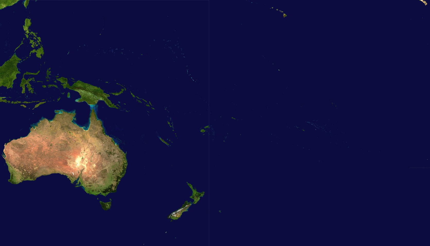
File:Oceania satellite.jpg
Ifayela ewu ngqo (1,670 × 957 pixels, file size: 111 KB, MIME type: image/jpeg)
source: http://visibleearth.nasa.gov/images/2433/land_shallow_topo_21600.tif archive copy at the Wayback Machine
| This file is in the public domain in the United States because it was solely created by NASA. NASA copyright policy states that "NASA material is not protected by copyright unless noted". (See Template:PD-USGov, NASA copyright policy page or JPL Image Use Policy.) | ||
 |
Warnings:
|
Umlando womqulu
Click on a date/time to view the file as it appeared at that time.
| Usuku/Isikhathi | Isithonjana | Dimensions | Umsebenzisi | Amazwana | |
|---|---|---|---|---|---|
| Njengamanje | 18:54, 14 uNhlangulana 2023 | | 1,670 × 957 (111 KB) | Treetoes023 | Didn't work the first time so I'm trying again. |
| 18:46, 14 uNhlangulana 2023 |  | 1,664 × 961 (111 KB) | Treetoes023 | Zoomed in image to remove unnecessary areas outside of Oceania. | |
| 08:05, 19 uNcwaba 2005 |  | 2,349 × 1,155 (755 KB) | っ | source: http://visibleearth.nasa.gov/images/2433/land_shallow_topo_21600.tif {{PD-USGov-NASA}} Category:Maps of Oceania Oceania |
Ukusetshenziswa komqulu
The following page uses this file:
Ukusetshenziswa komqulu jikelele
Amanye ama-wiki asebenzisa lefayela
- Ukusetshenziswa ku-af.wikipedia.org
- Ukusetshenziswa ku-ar.wikipedia.org
- Ukusetshenziswa ku-ar.wikinews.org
- Ukusetshenziswa ku-arz.wikipedia.org
- Ukusetshenziswa ku-ast.wikipedia.org
- Ukusetshenziswa ku-ba.wikipedia.org
- Ukusetshenziswa ku-ca.wikipedia.org
- Ukusetshenziswa ku-cdo.wikipedia.org
- Ukusetshenziswa ku-co.wikipedia.org
- Ukusetshenziswa ku-crh.wikipedia.org
- Ukusetshenziswa ku-cs.wikipedia.org
- Ukusetshenziswa ku-cy.wikipedia.org
- Ukusetshenziswa ku-de.wikipedia.org
- Ukusetshenziswa ku-el.wikipedia.org
- Ukusetshenziswa ku-en.wikipedia.org
- Ukusetshenziswa ku-eo.wikipedia.org
- Ukusetshenziswa ku-es.wikipedia.org
- Ukusetshenziswa ku-es.wikivoyage.org
- Ukusetshenziswa ku-et.wikipedia.org
- Ukusetshenziswa ku-fiu-vro.wikipedia.org
- Ukusetshenziswa ku-fi.wikipedia.org
- Ukusetshenziswa ku-fo.wikipedia.org
- Ukusetshenziswa ku-fr.wikipedia.org
View more global usage of this file.