
File:Al-Bahr al-ahmar district map overview.svg

Size of this PNG preview of this SVG file: Amachashazikazi ama-424 adlulayo nama-600 amile. Other resolutions: Amachashazikazi ama-170 adlulayo nama-240 amile | Amachashazikazi ama-339 adlulayo nama-480 amile | Amachashazikazi ama-543 adlulayo nama-768 amile | Amachashazikazi ama-724 adlulayo nama-1,024 amile | Amachashazikazi ama-1,448 adlulayo nama-2,048 amile | Amachashazikazi ama-744 adlulayo nama-1,052 amile.
Ifayela ewu ngqo (SVG file, nominally 744 × 1,052 pixels, file size: 64 KB)
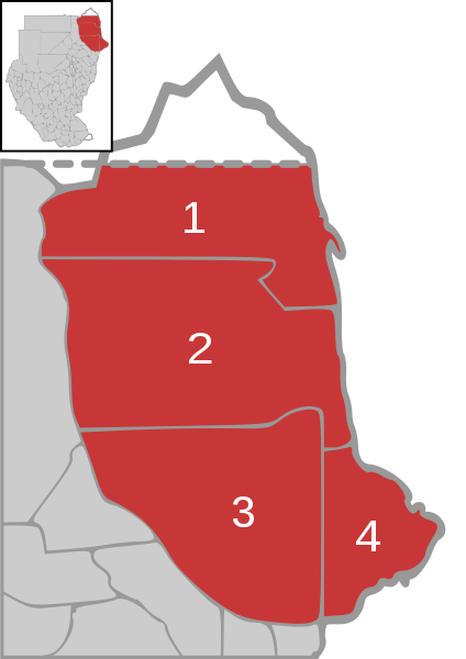
| Incazelo | Map of Red Sea state in Sudan with district overview | ||
| Usuku | |||
| Umthombo | own work, based on Image:Sudan district map.svg | ||
| Umlobi | de:user:Sven-steffen arndt | ||
| Permission (Reusing this file) |
|
Umlando womqulu
Click on a date/time to view the file as it appeared at that time.
| Usuku/Isikhathi | Isithonjana | Dimensions | Umsebenzisi | Amazwana | |
|---|---|---|---|---|---|
| Njengamanje | 13:04, 25 uZibandlela 2006 | | 744 × 1,052 (64 KB) | Sven-steffen arndt | {{Information |Description=Map of Red Sea state in Sudan with district overview |Source=own work, based on Image:Sudan district map.svg |Date=25. December 2006 |Author=de:user:Sven-steffen arndt |Permission={{PD-self}} |other_versions= }} [[Cat |
Ukusetshenziswa komqulu
The following page uses this file:
Ukusetshenziswa komqulu jikelele
Amanye ama-wiki asebenzisa lefayela
- Ukusetshenziswa ku-ar.wikipedia.org
- Ukusetshenziswa ku-de.wikipedia.org
- Ukusetshenziswa ku-en.wikipedia.org
- Ukusetshenziswa ku-eo.wikipedia.org
- Ukusetshenziswa ku-fa.wikipedia.org
- Ukusetshenziswa ku-it.wikipedia.org
- Ukusetshenziswa ku-pt.wikipedia.org
- Ukusetshenziswa ku-ro.wikipedia.org
- Ukusetshenziswa ku-ru.wikipedia.org
- Ukusetshenziswa ku-uk.wikipedia.org