
File:Burundi communes.png
Size of this preview: Amachashazikazi ama-505 adlulayo nama-600 amile. Other resolutions: Amachashazikazi ama-202 adlulayo nama-240 amile | Amachashazikazi ama-404 adlulayo nama-480 amile | Amachashazikazi ama-865 adlulayo nama-1,027 amile.
Ifayela ewu ngqo (865 × 1,027 pixels, file size: 22 KB, MIME type: image/png)
Isifinyezo
| Incazelo |
|
||
| Usuku | 29 uLwezi 2006 (original upload date) | ||
| Umthombo | No machine-readable source provided. Own work assumed (based on copyright claims). | ||
| Umlobi | No machine-readable author provided. Electionworld assumed (based on copyright claims). | ||
| Other versions |
Derivative works of this file: |

.png)
Licensing
| I, the copyright holder of this work, release this work into the public domain. This applies worldwide. In some countries this may not be legally possible; if so: I grant anyone the right to use this work for any purpose, without any conditions, unless such conditions are required by law. |
Umlando womqulu
Click on a date/time to view the file as it appeared at that time.
| Usuku/Isikhathi | Isithonjana | Dimensions | Umsebenzisi | Amazwana | |
|---|---|---|---|---|---|
| Njengamanje | 19:50, 15 uMandulo 2015 | | 865 × 1,027 (22 KB) | NordNordWest | upd |
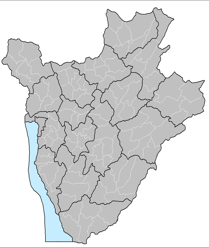
| 21:51, 22 uNtulikazi 2015 |  | 865 × 1,027 (33 KB) | ThomasPusch | The water area isn't a commune. Therefore it's helpful to set it to another colour, commonly light blue for water bodies in maps. • La akva areo ne estas komunumo. Tial helpas meti ĝin al alia koloro, kutime helblua por akvaĵoj en mapoj. | |
| 16:30, 14 uMasingana 2008 |  | 865 × 1,027 (59 KB) | Rarelibra | Updated map | |
| 12:17, 29 uLwezi 2006 |  | 1,025 × 624 (20 KB) | Electionworld | {{ew|en|Rarelibra}} == Summary == Map of the communes of Burundi. Created by Rarelibra 13:52, 31 March 2006 (UTC) for public domain use. Created using MapInfo Professional v7.5 and various mapping resources. == Licensing == {{PD-self}} |
Ukusetshenziswa komqulu
The following page uses this file:
Ukusetshenziswa komqulu jikelele
Amanye ama-wiki asebenzisa lefayela
- Ukusetshenziswa ku-en.wikipedia.org
- Ukusetshenziswa ku-eo.wikipedia.org
- Ukusetshenziswa ku-fi.wikipedia.org
- Ukusetshenziswa ku-fr.wikipedia.org
- Ukusetshenziswa ku-id.wikipedia.org
- Ukusetshenziswa ku-it.wikipedia.org
- Ukusetshenziswa ku-ka.wikipedia.org
- Ukusetshenziswa ku-nl.wikipedia.org
- Ukusetshenziswa ku-pt.wikipedia.org
- Ukusetshenziswa ku-simple.wikipedia.org
- Ukusetshenziswa ku-sr.wikipedia.org
- Ukusetshenziswa ku-sv.wikipedia.org