
File:Malaysia location map.svg

Size of this PNG preview of this SVG file: Amachashazikazi ama-800 adlulayo nama-305 amile. Other resolutions: Amachashazikazi ama-320 adlulayo nama-122 amile | Amachashazikazi ama-640 adlulayo nama-244 amile | Amachashazikazi ama-1,024 adlulayo nama-390 amile | Amachashazikazi ama-1,280 adlulayo nama-487 amile | Amachashazikazi ama-2,560 adlulayo nama-975 amile | Amachashazikazi ama-1,200 adlulayo nama-457 amile.
Ifayela ewu ngqo (SVG file, nominally 1,200 × 457 pixels, file size: 499 KB)
Isifinyezo
| Incazelo |
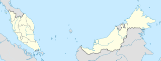
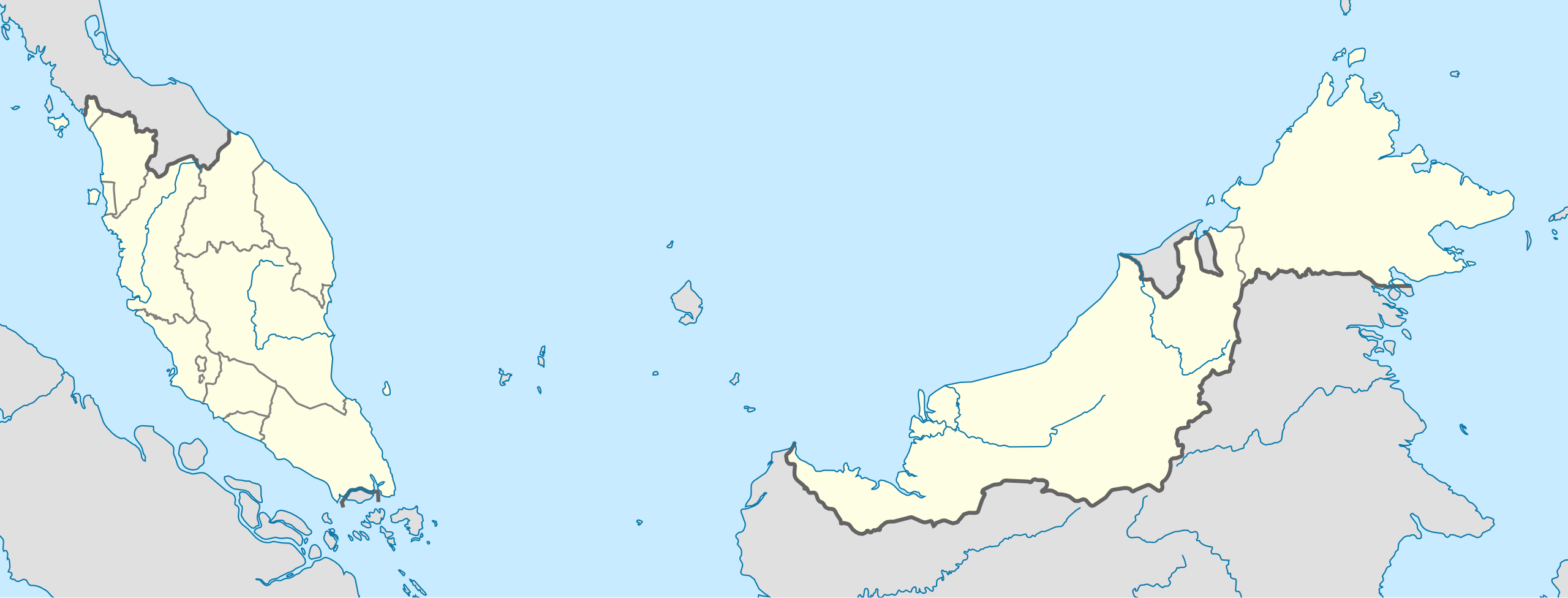
English: Location map of Malaysia.
Equirectangular projection. Strechted by 100.0%. Geographic limits of the map: * N: 8.0° N * S: 0.0° N * W: 99.0° E * E: 120.0° EMade with Natural Earth. Free vector and raster map data @ naturalearthdata.com. |
| Usuku | |
| Umthombo | Own work |
| Umlobi | Uwe Dedering |
| Other versions |
|
Licensing
I, the copyright holder of this work, hereby publish it under the following licenses:
This file is licensed under the Creative Commons Attribution-Share Alike 3.0 Unported license.
- Ukhululekile:
- ukwabelana – to copy, distribute and transmit the work
- to remix – to adapt the work
- Ngaphansi kwezimo ezilandelayo:
- attribution – You must give appropriate credit, provide a link to the license, and indicate if changes were made. You may do so in any reasonable manner, but not in any way that suggests the licensor endorses you or your use.
- yabelana ngokufana – If you remix, transform, or build upon the material, you must distribute your contributions under the same or compatible license as the original.

|
Permission is granted to copy, distribute and/or modify this document under the terms of the GNU Free Documentation License, Version 1.2 or any later version published by the Free Software Foundation; with no Invariant Sections, no Front-Cover Texts, and no Back-Cover Texts. A copy of the license is included in the section entitled GNU Free Documentation License. |
You may select the license of your choice.
Umlando womqulu
Click on a date/time to view the file as it appeared at that time.
| Usuku/Isikhathi | Isithonjana | Dimensions | Umsebenzisi | Amazwana | |
|---|---|---|---|---|---|
| Njengamanje | 13:45, 22 uNhlolanja 2010 | 1,200 × 457 (499 KB) | Uwe Dedering | complete new version with right projection and colors | |
| 23:31, 18 uNtulikazi 2009 | 1,170 × 400 (540 KB) | Mdzafri | more detailed map. | ||
| 16:38, 9 uNhlolanja 2009 | 1,171 × 400 (558 KB) | Doctor Dodge | resized to 400 x 1170 | ||
| 14:43, 9 uNhlolanja 2009 | 3,000 × 1,025 (558 KB) | Doctor Dodge | {{Information |Description={{en|1=Location map for Malaysia}} |Source=Own work by uploader |Author=Doctor Dodge |Date=9 febbraio 2009 |Permission= |other_versions= }} <!--{{ImageUpload|full}}--> Category:Location maps of Asia |
Ukusetshenziswa komqulu
Awekho amakhasi asebenzisa lolu hlobo lomqulu.
Ukusetshenziswa komqulu jikelele
Amanye ama-wiki asebenzisa lefayela
- Ukusetshenziswa ku-ace.wikipedia.org
- Ukusetshenziswa ku-af.wikipedia.org
- Ukusetshenziswa ku-an.wikipedia.org
- Ukusetshenziswa ku-ar.wikipedia.org
- Ukusetshenziswa ku-ast.wikipedia.org
- Gran Premiu de Malasia de 2007
- Gran Premiu de Malasia de 2006
- Gran Premiu de Malasia de 2008
- Torres Petronas
- Menara Telekom
- Kuala Lumpur
- Aeropuertu Internacional de Penang - Malasia
- Putrajaya
- George Town
- Petaling Jaya
- Estadiu Nacional Bukit Jalil
- Península de Malaca
- Estrechu de Singapur
- Estrechu de Johor
- Torre de Kuala Lumpur
- Kuching
- Ipoh
- Malasia Peninsular
- Alor Setar
- Kota Kinabalu
- Johor Bahru
- Módulu:Mapa de llocalización/datos/Malasia
- Módulu:Mapa de llocalización/datos/Malasia/usu
- Aeropuertu Internacional de Kuala Lumpur
- Sepang
- Circuitu Internacional de Sepang
- Aeropuertu de Tawau
- Puertu de Johor
- Puertu de Kemaman
- Semporna
- Islla Tengah
- Ukusetshenziswa ku-azb.wikipedia.org
- Ukusetshenziswa ku-az.wikipedia.org
View more global usage of this file.