
File:Venezuela regions map.png
Size of this preview: Amachashazikazi ama-687 adlulayo nama-600 amile. Other resolutions: Amachashazikazi ama-275 adlulayo nama-240 amile | Amachashazikazi ama-550 adlulayo nama-480 amile | Amachashazikazi ama-879 adlulayo nama-768 amile | Amachashazikazi ama-1,173 adlulayo nama-1,024 amile | Amachashazikazi ama-2,345 adlulayo nama-2,048 amile | Amachashazikazi ama-3,008 adlulayo nama-2,627 amile.
Ifayela ewu ngqo (3,008 × 2,627 pixels, file size: 1.52 MB, MIME type: image/png)
Isifinyezo
| Incazelo |
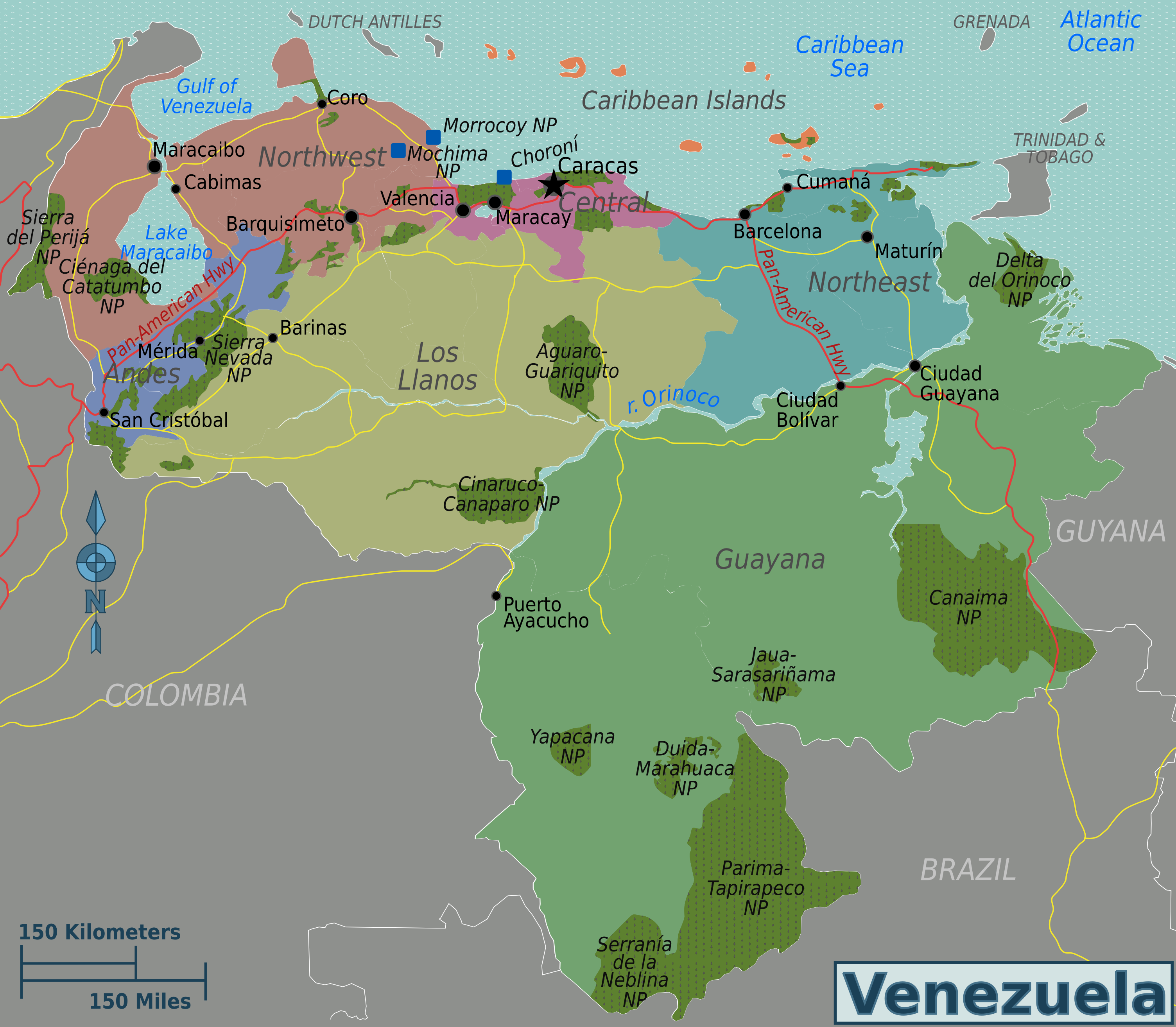
English: Venezuela regions map. English version. |
| Usuku | |
| Umthombo | Venezuela regions map.svg |
| Umlobi | Peter Fitzgerald, Shadowxfox, Wilfredor, Oscar |
Licensing

|
Permission is granted to copy, distribute and/or modify this document under the terms of the GNU Free Documentation License, Version 1.2 or any later version published by the Free Software Foundation; with no Invariant Sections, no Front-Cover Texts, and no Back-Cover Texts. A copy of the license is included in the section entitled GNU Free Documentation License. |
This file is licensed under the Creative Commons Attribution-Share Alike 4.0 International, 3.0 Unported, 2.5 Generic, 2.0 Generic and 1.0 Generic license.
- Ukhululekile:
- ukwabelana – to copy, distribute and transmit the work
- to remix – to adapt the work
- Ngaphansi kwezimo ezilandelayo:
- attribution – You must give appropriate credit, provide a link to the license, and indicate if changes were made. You may do so in any reasonable manner, but not in any way that suggests the licensor endorses you or your use.
- yabelana ngokufana – If you remix, transform, or build upon the material, you must distribute your contributions under the same or compatible license as the original.
Original upload log
| This file was imported from Wikivoyage WTS. |
The original description page was here. All following user names refer to wts.wikivoyage-old.
- 2009-11-03 11:00 (WT-shared) Peterfitzgerald archive copy at the Wayback Machine 2200×1921 (1097133 bytes) {{Imagecredit|credit=Peter Fitzgerald, [[:wmc:User:Shadowxfox]], [[:wmc:User:The Photographer]], [[:wmc:User:Oscar]]|captureDate=3 November 2009|lo (Import from wikitravel.org/shared)
- 2010-03-01 00:35 (WT-shared) Peterfitzgerald archive copy at the Wayback Machine 3008×2627 (1593773 bytes) typo (Import from wikitravel.org/shared)
Umlando womqulu
Click on a date/time to view the file as it appeared at that time.
| Usuku/Isikhathi | Isithonjana | Dimensions | Umsebenzisi | Amazwana | |
|---|---|---|---|---|---|
| Njengamanje | 04:15, 18 uZibandlela 2012 | | 3,008 × 2,627 (1.52 MB) | OgreBot | (BOT): Reverting to most recent version before archival |
| 04:15, 18 uZibandlela 2012 |  | 2,200 × 1,921 (1.05 MB) | OgreBot | (BOT): Uploading old version of file from wts.wikivoyage; originally uploaded on 2009-11-03 11:00:02 by (WT-shared) Peterfitzgerald | |
| 03:17, 18 uLwezi 2012 |  | 3,008 × 2,627 (1.52 MB) | MGA73bot2 | {{BotMoveToCommons|wts.oldwikivoyage|year={{subst:CURRENTYEAR}}|month={{subst:CURRENTMONTHNAME}}|day={{subst:CURRENTDAY}}}} == {{int:filedesc}} == {{Information |description=Venezuela regions map. English version, Venezuela * Map of: Venezuela¤ |date=... |
Ukusetshenziswa komqulu
Awekho amakhasi asebenzisa lolu hlobo lomqulu.
Ukusetshenziswa komqulu jikelele
Amanye ama-wiki asebenzisa lefayela
- Ukusetshenziswa ku-ar.wikipedia.org
- Ukusetshenziswa ku-bs.wikipedia.org
- Ukusetshenziswa ku-de.wikipedia.org
- Ukusetshenziswa ku-de.wikivoyage.org
- Ukusetshenziswa ku-en.wikipedia.org
- Ukusetshenziswa ku-en.wikivoyage.org
- Ukusetshenziswa ku-es.wikipedia.org
- Ukusetshenziswa ku-es.wikisource.org
- Ukusetshenziswa ku-es.wikivoyage.org
- Ukusetshenziswa ku-fa.wikivoyage.org
- Ukusetshenziswa ku-fr.wikipedia.org
- Ukusetshenziswa ku-fr.wikivoyage.org
- Ukusetshenziswa ku-he.wikivoyage.org
- Ukusetshenziswa ku-incubator.wikimedia.org
- Ukusetshenziswa ku-it.wikipedia.org
- Ukusetshenziswa ku-it.wikivoyage.org
- Ukusetshenziswa ku-ja.wikipedia.org
- Ukusetshenziswa ku-www.mediawiki.org
- Ukusetshenziswa ku-nl.wikivoyage.org
- Ukusetshenziswa ku-outreach.wikimedia.org
- Ukusetshenziswa ku-pl.wikipedia.org
- Ukusetshenziswa ku-pl.wikivoyage.org
- Ukusetshenziswa ku-pt.wikipedia.org
- Ukusetshenziswa ku-pt.wikivoyage.org
- Ukusetshenziswa ku-ro.wikipedia.org
- Ukusetshenziswa ku-ro.wikivoyage.org
- Ukusetshenziswa ku-ru.wikipedia.org
- Ukusetshenziswa ku-ru.wikivoyage.org
- Ukusetshenziswa ku-sh.wikipedia.org
- Ukusetshenziswa ku-simple.wikipedia.org
- Ukusetshenziswa ku-simple.wiktionary.org
- Ukusetshenziswa ku-vi.wikivoyage.org
- Ukusetshenziswa ku-zh.wikipedia.org
- Ukusetshenziswa ku-zh.wikivoyage.org